Federal geologists have attributed the recent collapse of Highway 1 in Big Sur to a rockfall caused by weather, waves, and gravity, which led to the cracking of the cliffside beneath the roadway. The U.S. Geological Survey conducted a new analysis and determined that this type of rockfall is relatively common along the coast.
Fortunately, researchers did not observe a larger landslide, indicating that there is no significant instability in the surrounding area. However, predicting when and where another rockfall might occur along Highway 1 remains a challenge, as this stretch of highway is considered the most vulnerable to coastal erosion in California.
The slip-out that occurred on March 30 near Rocky Creek Bridge left a portion of the southbound lane in the ocean, isolating much of the famous Big Sur coast from the rest of the state. Another section of Highway 1, about 40 miles south, has been closed since January 2023 due to landslides.
Jonathan Warrick, a USGS research geologist, emphasized the unpredictability of such events, especially during wet winters. California Department of Transportation officials aim to fully reopen the Rocky Creek Bridge section by Memorial Day, allowing unrestricted access.
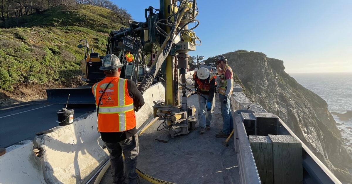
Despite the limited traffic flow in the area, CalTrans is working to enhance stability, safety features, and drainage to prevent future incidents. The recent analysis by USGS did not reveal any nearby land movement after the Rocky Creek slip-out, providing some relief.
U.S. Geological Survey animation of the Rocky Creek landslide that resulted in the closure of California State Highway 1.
(U.S. Geological Survey)
Rockfalls like the one at Rocky Creek Bridge are natural occurrences exacerbated by extreme climate conditions such as wet seasons. The ongoing wet weather in Big Sur has contributed to increased movement along the coast.
Various areas along Big Sur’s coastline have experienced destabilizing shifts and slides this winter and spring, prompting continued monitoring by USGS. While repairs and stabilization efforts progress, the agency remains vigilant in assessing potential risks.
Caltrans has implemented drainage improvements and safety measures to mitigate the impact of extreme weather events and climate change on Highway 1. As construction continues amidst challenging conditions, the focus remains on enhancing resilience and safety along the coastline.
USGS will persist in monitoring vulnerable spots along the coast, including the site of the Rocky Creek Bridge collapse, to ensure the ongoing safety of the roadway.
Is there any particular area on Big Sur that is notably stable? Not really.
The most recent USGS images showcasing changes over the past two months feature before-and-after pictures from eight different locations, each showing “significant movement or the potential for it to impact the highway,” according to Warrick.
Warrick mentioned, “It’s not just one location, but several sites.”
He added that his team will be conducting another aerial survey in a couple of weeks to capture more images for monitoring and tracking movement, especially with ongoing rain showers since the last survey.
Warrick noted, “There’s still ongoing movement in the area. We’ll continue to keep a close watch on it.”


